About us
Paul Corrigan & Associates (PCA) Ltd. Geo-Surveyors is a multidisciplinary practice with 40 years experiences in all aspects of land and measured building survey. We pride ourselves on providing tailored survey solutions to all our clients, with an emphasis on continuous product support and detailed advice.
As one of Ireland’s leading Geo-Survey Consultancies, we aim at all times to achieve the highest standards in survey practice and customer service, embracing the very latest in survey technologies and methods.
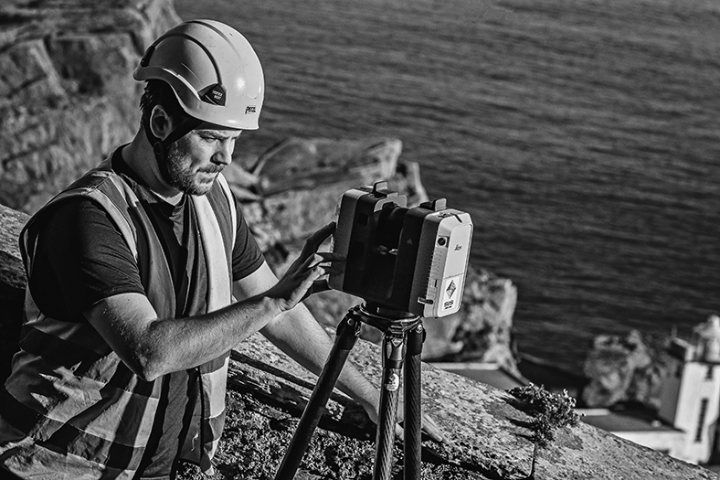
Our team comprises a diverse range of skills and experience working in many different countries around the world, and with expertise in land survey, laser-scanning, drone orthophotography, Scan-to-BIM modelling, legal mapping and arbitration, geospatial analysis, architectural, archeological and cultural heritage.
We have been involved with some of the largest civil engineering projects in Ireland, working with both state agencies, county councils, private engineering and property development consultancies. In addition to these large-scale projects, a considerable portion of our business remains with smaller enterprises with whom, we continue to provide bespoke service provision and support across all scales of activity.

Our survey services include, but are not restricted to :
- Infrastructural surveys: including cycle lanes, bus corridors, bridges, waterways, motorways and railways & train stations.
- Property surveys: including boundary surveys, first registration (PRAI) & full building surveys.
- Cultural heritage surveys: including heritage buildings & protected structures, archaeological sites & historic architectural detail recording.
- Environmental surveys: including parks, woodland & greenways.
- Drone aerial survey: including video surveys, orthophotography and photogrammetry.
- 3D modelling: including Scan-to-BIM, 3D CAD, TIN, mesh and contour modelling, digital surface and orthofacade modelling.
Whatever your survey needs, PCA has the solution.
CONSULTANCY
Each project can have many possible survey solutions depending on the client’s requirements and budgets. Some clients prefer a survey to be built up in modular format, others may require more or less in terms of accuracies and extents.
CONSULTANCY
Each project can have many possible survey solutions depending on the client’s requirements and budgets. Some clients prefer a survey to be built up in modular format, others may require more or less in terms of accuracies and extents. Some clients require a drone survey or 3D model of a building. PCA offer our expertise as consultants in all aspects of spatial mapping, recording and modelling. Whether the job needs small-scale boundary surveying or large-scale laser scanning and aerial imagery, we provide survey solutions tailored to specific requirements, timetable, and budget. Consulting with us at pre-planning stage yields optimum efficiency.
SPECIFICATION
When considering a survey specification, think of PCA, we are happy to advise. Every job has its own demands – its own unique set of requirements of accuracy, content and presentation.
SPECIFICATION
When considering a survey specification, think of PCA, we are happy to advise. Every job has its own demands – its own unique set of requirements of accuracy, content and presentation. Matching survey deliverables to the requirements of the job is the first step in achieving what is needed for the best price. Understanding the client and the purpose of the survey is key and the first step in designing a project specification. We can give you everything you want, but let’s start with what you need!
MEDIATION
Disputes can arise at any time, and property boundaries and land use are key flashpoints. At PCA, we have the experience and expertise necessary to mediate disputes and enable all parties come to a rational, common-sense solution. We are Chartered Arbitrators and also offer an expert witness service for litigation and arbitration.
CURATION
In this constantly changing world, it is more and more important to keep accurate records of our natural and built environment. At PCA, we recognise that our clients’ needs often extend beyond traditional surveys.
CURATION
In this constantly changing world, it is more and more important to keep accurate records of our natural and built environment. At PCA, we recognise that our clients’ needs often extend beyond traditional surveys. Therefore, we pride ourselves at providing unrivalled product support and expert advice. Using the latest developments in laser scanning and 3d modelling technology, we have the tools to help you record and monitor progress and adapt to change.
