The DART+ Programme is a programme of work managed by TFI and Irish Rail whose constituent projects are designed to create a full metropolitan DART network with all lines linked and connected, with enhanced frequency and capacity of services. Part of this programme involved detailed surveys and 3D modelling of Irish Rail maintenance depots at Clontarf Road Station, Fairview, Co. Dublin, and MacBride Station, Drogheda, Co. Louth.
PCA Geo-Surveyors were brought in by Arup Consulting Engineers to carry out the detailed survey and modelling works for both sites. This involved, firstly, establishing ground control using GNSS measurement of specified survey control points, and then traversing through these control points in order to create a closed loop, ensuring all data surveyed from each site was correct to ITM and Malin Head OD.
The next step was a high-detail 3D laser scan of each site. This was carried out using the Leica RTC360 terrestrial laser scanner. Scan control targets were positioned throughout each structure in order to ensure individual scans were accurately connected to each other, and targets were also surveyed from external survey control points using total station, ensuring that scan data was also correct to ITM and Malin Head OD. From the scan data, a dense point cloud was created, which would then be used as the basis for the 3D models of each site. RGB imagery was captured during each setup of the scanner, allowing the 3D point cloud to be visualise in true colour.
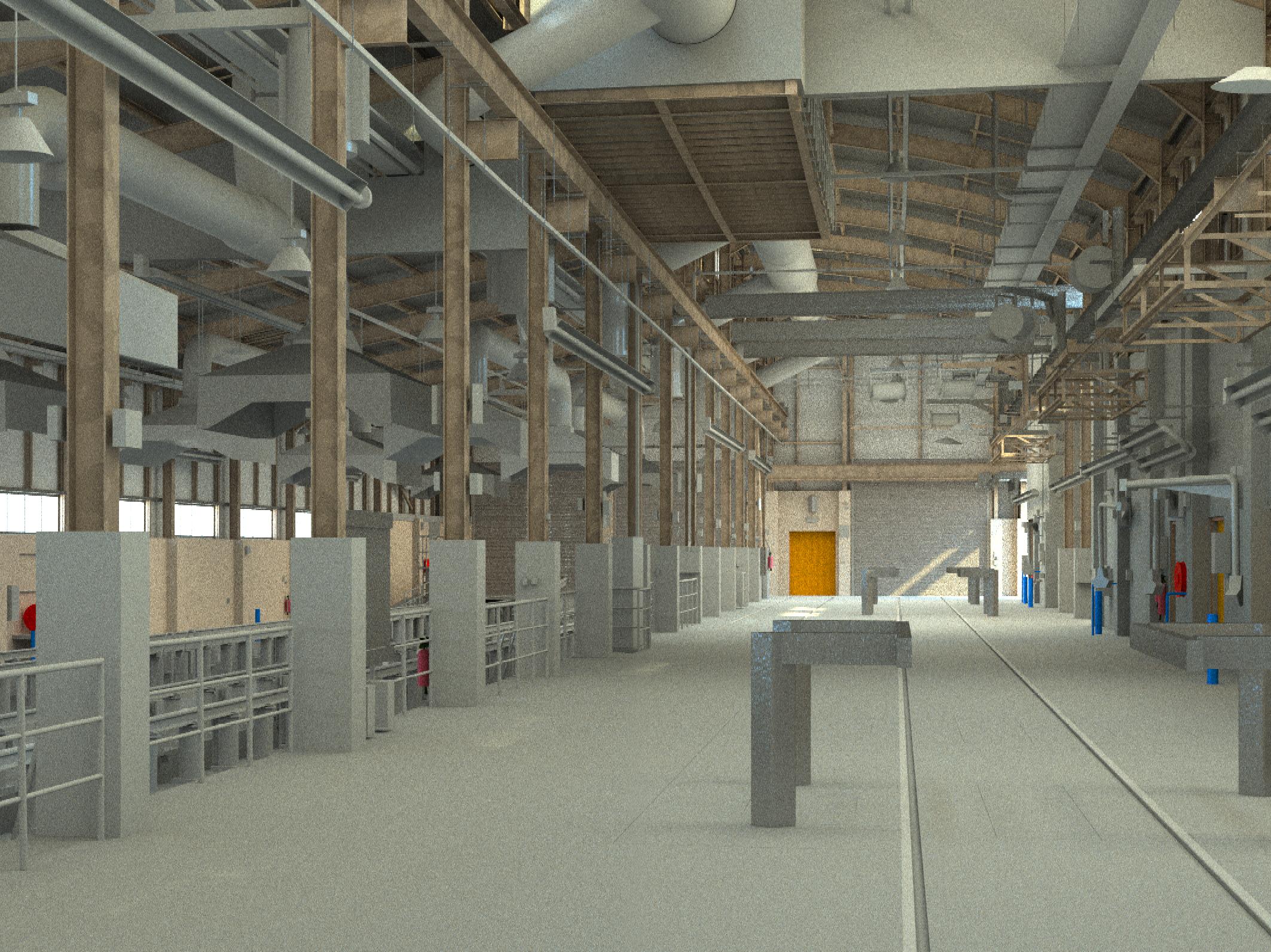
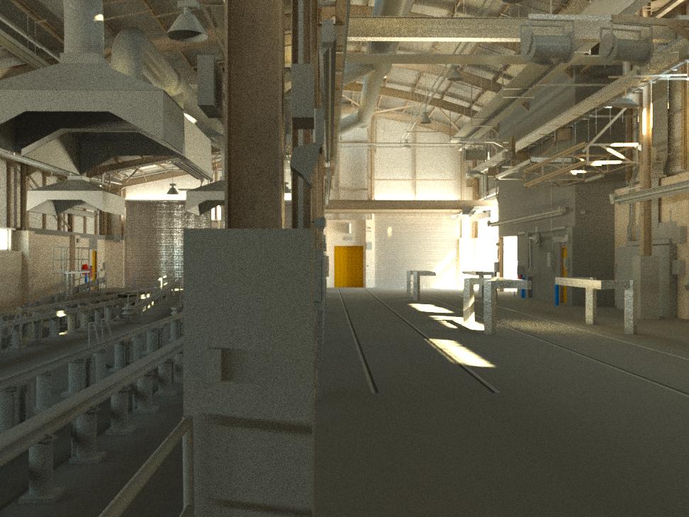
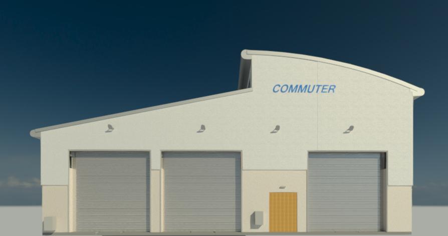
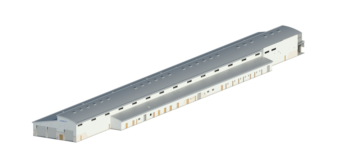
Each maintenance depot was modelled in 3D using AutoDesk Revit, to LOD 200 and LOD 300, including all structural, mechanical and electrical details of the maintenance areas and adjacent office and utility rooms of each depot. Finally, a .LGS file was also produced, which allowed 360° imagery from each scan setup to be viewed in true colour using Leica TruView.


Survey Data Outputs
• Survey control network
• Laser scan pointcloud
Final Deliverables
• Laser scan pointcloud
• .LGS file for Leica TruView
• AutoDesk Revit 3D building model
